
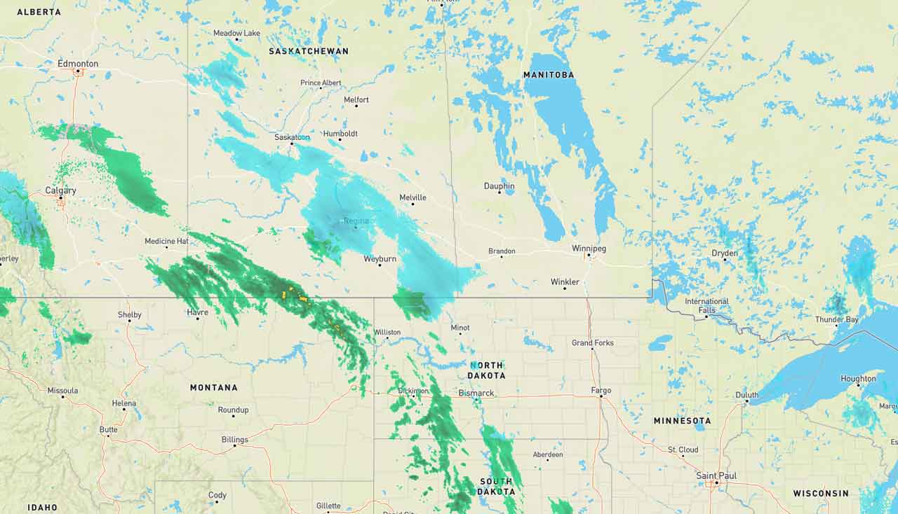
Thunder Bay – Weather – We are continuing to track a low-pressure system which has Winter Storm Warnings and Weather Advisories in effect for Saskatchewan and Manitoba.
The storm system could be tracking further north as it comes across the prairies.
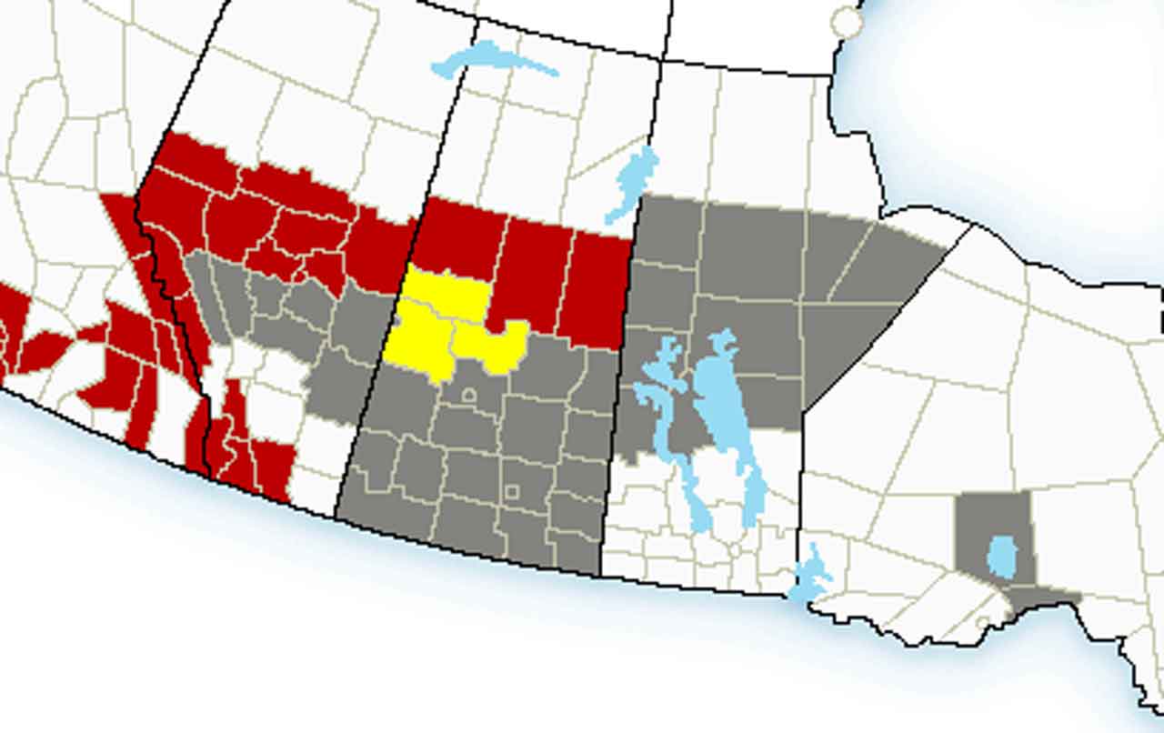
Alberta and Saskatchewan are getting the brunt of the system. Edmonton has a Winter Storm Warning with Environment Canada calling for heavy snowfall for parts of Alberta Monday through Tuesday. Total snowfall amounts between 10 and 20 cm are expected. Snow will begin in western Alberta on Monday morning and spread eastward through the day, reaching regions in Central Alberta by the early afternoon.
For Saskatchewan, the weather is calling for a strong storm system that will affect southern and central Saskatchewan Monday night and Tuesday. The area southwest of the Yellowhead will see strong winds through the day, with peak gusts in excess of 90 km/h expected. Near the Yellowhead itself, a band of freezing rain is likely to develop, making travel slippery for a few hours throughout the day.
Manitoba is expecting heavy weather too with weather advisories out in the Northern parts of Manitoba.
NetNewsLedger will be watching this system and keeping you up-to-date. Hopefully the storm shifts to the north faster than the tracking models.
Thunder Bay Weather
For Monday in Thunder Bay the forecast is calling for a mix of sun and cloud. Winds will be blowing at up to 15 km/h. High plus 1. Wind chill minus 7 in the morning.
Cloudy skies will continue into Monday night. Winds will continue as well blowing at up to 15 km/h. Low minus 7. Wind chill minus 3 in the evening and minus 12 overnight.
Fort Frances Weather
Fort Frances will see cloudy skies in the morning with a 70 per cent chance of light snow by the afternoon. Winds will be up to 15 km/h. High minus 1. Wind chill minus 14 in the morning and minus 5 in the afternoon.
Cloudy skies will continue on Monday night with a continued 70 per cent chance of light snow changing to a 30 per cent chance of flurries near midnight. Wind up to 15 km/h. Low minus 5. Wind chill minus 4 in the evening and minus 9 overnight.
Marten Falls Weather
It will be mainly cloudy in Marten Falls on Monday. There is a 30 percent chance of flurries in the morning. Winds will be at up to 15 km/h. Temperature steady near minus 3. Wind chill near minus 10. UV index 1 or low.
Clearing skies are forecast for Monday night. Wind up to 15 km/h. Low minus 12. Wind chill minus 8 in the evening and minus 15 overnight.
Dryden and Vermilion Bay Weather
Mainly cloudy skies are forecast for Dryden with a 60 per cent chance of light snow by the afternoon. Winds will be blowing at up to 15 km/h. High minus 3. Wind chill minus 14 in the morning and minus 7 in the afternoon. UV index 1 or low.
Cloudy skies will continue in the area with a 60 per cent chance of light snow. Winds will be blowing at up to 15 km/h. Low minus 6. Wind chill near minus 12.
Winnipeg Weather
Periods of light snow with a risk of freezing drizzle by the afternoon are in the forecast for Winnipeg. Winds will be blowing at up to 15 km/h. High minus 2. Wind chill near minus 11.
Cloudy skies will continue with a 60 per cent chance of flurries and a risk of freezing rain into the evening. Winds will become southeast 30 km/h gusting to 50 after midnight. Temperature rising to zero by morning. Wind chill minus 8 in the evening.


