
THUNDER BAY – Let’s be careful out there! The snow has stopped but roads in Thunder Bay and area still require your full attention when you are driving. Thunder Bay Police report at least twenty motor vehicle accidents on Saturday.
Across the region there were several major accidents on the highways. The storm impacted road conditions causing icy and slippery roads.
On Sunday, in the image, the accident happened in Thunder Bay at the intersection of Simpson Street and Dease. No injuries were reported. Witnesses said that the car sideswiped a truck and was deflected into the building.
On Saturday night, there was a motor vehicle pedestrian accident that sent a pedestrian to hospital and seriously injured a dog. The male pedestrian was walking his dog when reportedly struck by the vehicle. The driver failed to stay at the accident scene. The female driver has since been arrested, and is facing charges.
TBPS report the driver was driving while disqualified and now faces charges of failure to remain at the scene, as well as driving while disqualified.
The Trans-Canada Highway near Upsula was closed for much of Saturday by the OPP as they investigated a multiple vehicle accident.
Snow is not in the forecast for the next several days.
Arctic Cold to Impact Northern Ontario
Environment Canada reports that “Cold wind chill values near minus 40 tonight and Monday morning are in the forecast. A cold Arctic air mass has established itself over Northern Ontario. With not much cloud cover tonight, temperatures are expected to drop down to the minus 28 to minus 35 degree range. These cold temperatures combined with wind 10 to 15 km/h will result in wind chill values near minus 40”.
“Wind chill values will improve and rise to above minus 40 during the day on Monday with day time heating, but with the Arctic airmass well entrenched, similar conditions are expected again Monday night into Tuesday morning”.
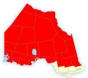
For the Far North, including Fort Severn, Attawapiskat, Kashechewan, Webequie, Okogi, Dryden, Kenora, Red Lake, Sioux Lookout, Vermilion Bay, and Kenora are all under extreme cold warnings.
Wind chill values will improve and rise to above minus 45 during the day on Monday with day time heating, but with the Arctic air mass well entrenched, similar conditions are expected again Monday night into Tuesday morning.
Extreme caution is advised if outdoors. Frostbite (damage, sometimes permanent, to skin and body tissue due to freezing) and hypothermia (a life threatening drop in body temperature) will occur if adequate precautions are not taken when outdoors. These can occur within minutes.


