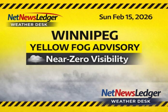
WINNIPEG – WEATHER – Winnipeg starts Sunday under a Yellow Fog Advisory, with reports of dense fog and near-zero visibility across parts of southern Manitoba. The good news is the fog is expected to dissipate through the morning, giving way to a brighter and milder afternoon.
Longer-term, the week turns active again: rain arrives Tuesday, then flips to snow Tuesday night into Wednesday, before colder air tightens its grip later in the week.
Today’s Weather Overview
As of 6:00 AM CST Sunday, February 15, Winnipeg is mainly clear at -4.0°C.
A light-moderate SSE wind at 18 km/h makes it feel closer to -10 with the wind chill. Humidity is high at 91%, and pressure is 101.1 kPa and falling, consistent with the fog advisory and changing conditions.
Fog Advisory: Near-zero visibility in fog is expected in parts of the area, improving through Sunday morning. If you encounter fog, slow down, leave extra space, and use low beams.
Expected Conditions (Next 3 Days)
Tonight (Sunday night):
Skies trend to a few clouds, with fog patches developing near midnight.
-
Low: -10°C
-
Wind chill: near -16 overnight
Monday, February 16:
A quieter, calmer day with mainly sunny skies, though fog patches may linger early before burning off.
-
High: 0°C
-
Morning wind chill: around -15
-
Night: Cloudy, low -6°C
Tuesday, February 17:
A major shift: periods of rain develop, with temperatures near 0°C—then conditions change fast Tuesday night.
-
Day: Rain, high 0°C
-
Night: Snow, low -5°C
Wednesday, February 18 (trend):
Snow continues, with daytime temperatures near -5°C, then colder nights returning.
Wardrobe Recommendations
-
This morning (fog + cold): Warm layers, hat, mitts, and a wind-resistant outer layer. If you’re commuting, dress for stops and delays.
-
Afternoon (milder): You can ease back slightly on insulation, but keep wind protection—temperatures are still near freezing.
-
Tuesday (rain-to-snow): Waterproof footwear and a water-resistant outer shell will matter most. This is a classic day for slush, wet sidewalks, and rapid refreeze after the changeover.
Weather Trivia
Dense fog often forms when the air temperature and dew point get close together—exactly the setup Winnipeg has this morning with high humidity. Fog can vanish quickly after sunrise as mixing increases, but it can also redevelop overnight when winds ease and the surface cools.
Summary
Winnipeg weather forecast for Sunday, February 15, 2026: Yellow Fog Advisory with dense fog and possible near-zero visibility early, improving through the morning. High near +2°C today, then cooler nights with fog patches. Rain arrives Tuesday near 0°C, changing to snow Tuesday night into Wednesday.

