Near real-time tracking tool aims to improve winter travel planning and boost transparency
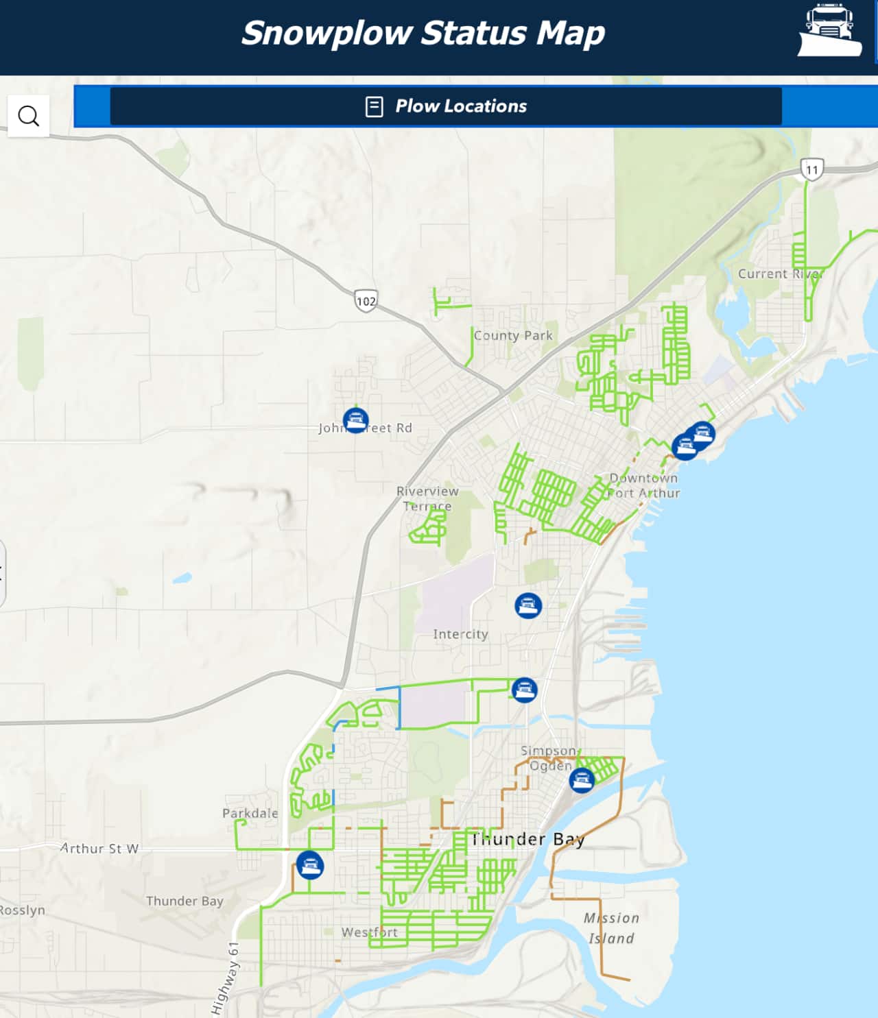
THUNDER BAY — February 10, 2026 — Getting around after a snowfall just got a little easier. The City of Thunder Bay has launched a new Snowplow Status Map, an interactive, near real-time tool that lets residents see where plows are working and when streets were last serviced.
“The Snowplow Status Map gives residents a clearer picture of what’s happening on our roads during the winter months,” said Ian Spoljarich, Manager of Roads Division. “By showing where our plows are working and when streets were last serviced, we’re helping people plan their travel more safely while also increasing transparency around our winter maintenance operations.”
What the map shows
During and after snow events, the map allows users to:
-
Track nearly 40 City snowplows as they move throughout Thunder Bay
-
View recent service timestamps for specific roads, showing when an area was last plowed
The City says the goal is to provide quick, accessible information that supports safer winter navigation while helping residents better understand how winter maintenance operations are carried out across the community.
Available now
The Snowplow Status Map goes live February 10, 2026, and will remain available throughout the winter season.
Residents can access the map at: thunderbay.ca/snow