
Thunder Bay – Weather – Winter is tightening its grip along Lake Superior’s north shore tonight. A Yellow Snowfall Warning is in effect for the Nipigon area, with lake-enhanced snowfall expected to ramp up this evening and continue into Friday morning.
The biggest impacts will be reduced visibility in heavier snow and quickly changing road conditions—especially for anyone travelling along Highway 17 between Thunder Bay and Marathon.
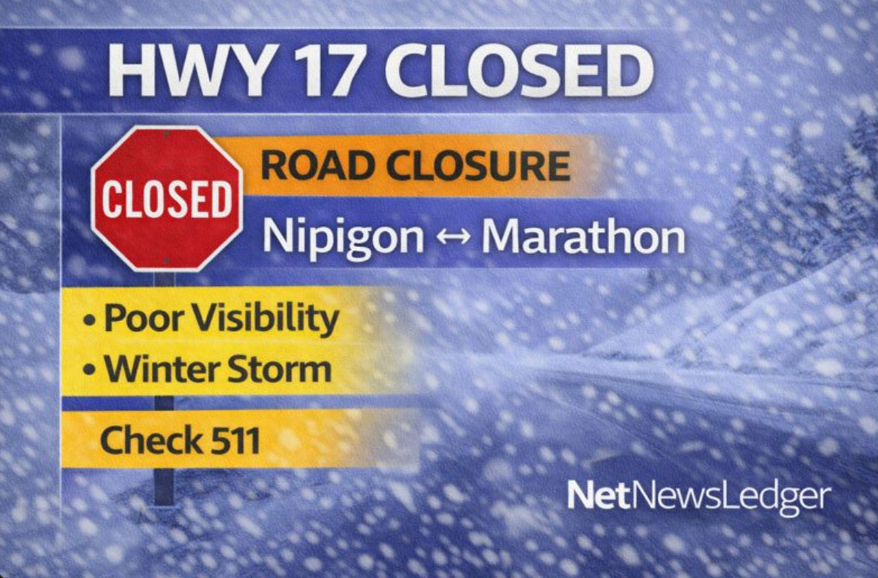
Highway 17 Closed Both Directions: Nipigon to Marathon (Winter Weather)
Highway 17 is closed in both directions between Nipigon and Marathon due to winter weather, poor visibility, and deteriorating road conditions.
What we know
-
Location: Hwy 17 Nipigon ↔ Marathon (full closure / all lanes closed)
-
Reason: Poor visibility and rapidly worsening winter driving conditions
-
Impacts: Travel delays are significant; road closures may expand as conditions change.
Safety reminder
-
Avoid non-essential travel in the area until conditions improve.
-
If you’re already on the road, do not drive past closure gates or barriers.
-
Check Ontario 511 for the latest closure status and any reopening updates.
Weather Overview
Current Conditions
-
Temperature: -7°C
-
Wind: SSE 9 km/h
-
Wind chill: -11
-
Humidity: 92%
-
Pressure: 100.0 kPa and falling
-
Condition: Not observed (station status), but local conditions are trending toward snow as the system moves in.
With pressure falling and moisture increasing, conditions are primed for snow to develop and intensify overnight.
Friday’s Forecast
Yellow Warning — Snowfall
What: Local snowfall amounts 10 to 15 cm, with reduced visibility at times in heavy snow.
When: This evening through Friday morning.
Where: North shore of Lake Superior—areas between Thunder Bay and Marathon, including the Nipigon–Rossportregion.
Extra risk: Snow squalls are possible, meaning sudden bursts of heavier snow and rapid visibility drops.
Tonight (Thu, Jan 15)
-
Snow, with risk of snow squalls
-
Local amount: ~10 cm
-
Wind south 20 km/h becoming light late evening
-
Low: -10°C
-
Wind chill: near -15 overnight
Friday (Jan 16)
-
Flurries, with risk of snow squalls in the morning
-
Additional amount: ~5 cm
-
Wind up to 15 km/h
-
High: -4°C
-
Wind chill: -15 morning, -8 afternoon
Friday Night
-
Cloudy with 60% chance of flurries
-
Wind north 30 km/h gusting to 50
-
Low: -13°C
-
Wind chill: down to -21 overnight
Saturday (Jan 17)
-
Mix of sun and cloud with 40% chance of flurries
-
High: -14°C
-
Saturday night: Cloudy periods, low -26°C
Wardrobe Recommendations
-
Tonight into Friday morning: Dress for snow + wind chill. A winter parka, insulated mitts, toque, and a neck warmer are essential.
-
If travelling: Waterproof boots with strong tread, and keep extra layers handy in case of delays.
-
Friday night into the weekend: Temperatures fall hard—plan on full winter gear, especially with lows pushing toward the mid -20s.
Weather Trivia
Lake Superior can supercharge snow along the shoreline. When cold air flows over the lake and then pushes inland, it can create lake-enhanced snowfall (and sometimes snow squalls) that ramps up quickly—often producing sharp differences in snowfall over short distances along Highway 17.
Weather Overview
Nipigon–Red Rock weather forecast for January 15, 2026: Yellow Snowfall Warning in effect with lake-enhanced snow tonight through Friday morning. Expect 10–15 cm, reduced visibility, and risk of snow squalls. Travel conditions may deteriorate rapidly.


