Current Conditions — 7:00 a.m. EST, Wednesday, December 3, 2025
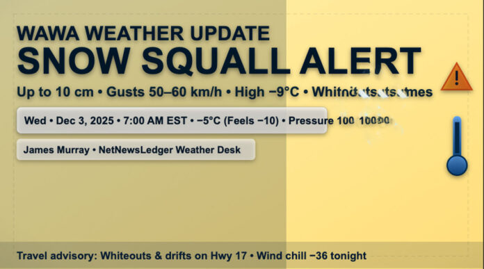
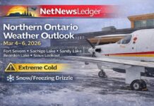
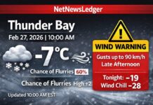
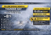
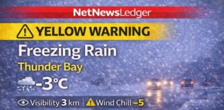
Thunder Bay – Weather Desk – Wawa Airport reports –5.1°C with a wind chill of –10. Wind north 11 km/h, humidity 92%, pressure 100.4 kPa, and visibility not observed at the hour. A Moderate Impact event is underway: frontal snow squalls are tracking south with the cold front, bringing bursts of heavy snow and local blowing snow. Additional totals up to 10 cm are possible this morning, and gusts to 50–60 km/h will sharply reduce visibility—especially over open stretches.
Today — Squalls Ease Late Morning, Still Blustery
Flurries end this morning, then a mix of sun and cloud with a 40% chance of flurries lingering. Risk of snow squalls early. Local additional 2 cm. Wind north 30 km/h gusting to 50, becoming light late this afternoon. High –9°C, wind chill near –19. Travel may remain slow even after squalls weaken—watch for drifting and compacted snow.
Tonight — Dangerous Wind Chills
Partly cloudy with a 40% chance of flurries. North wind 20 km/h gusting to 40. Low –25°C, wind chill –18 this evening and near –36 overnight. Risk of frostbite: exposed skin can freeze quickly. If you’re out late, cover up and limit time outdoors.
Thursday — Bright Start, More Flurries
Sunny in the morning, then mix of sun and cloud with a 60% chance of flurries in the afternoon. Northwest 20 km/h gusting to 40, becoming light early. High –8°C with wind chill near –36 in the morning, improving to –13 in the afternoon. Frostbite risk persists in the morning.
Thursday night: Cloudy, 60% chance of flurries, low –11°C.
Friday — On/Off Snow, Squall Risk Returns
Cloudy with a 60% chance of flurries or snow squalls. High –5°C.
Friday night: Cloudy, 60% chance of flurries or snow squalls, low –14°C.
What to Wear & Road Tips
Layer like you mean it: thermal base, insulating mid-layer, and a wind-resistant parka. Add a toque, insulated mitts, neck warmer, and winter boots with aggressive tread. Drivers: expect whiteouts in bursts, drifts on exposed sections of Hwy 17, and black ice tonight. Slow down, keep lights on, and carry a winter kit (scraper, brush, shovel, traction aid, blanket).
Lake Superior Trivia
When an Arctic front sweeps over warmer lake water, the atmosphere “loads up” and fires narrow snow bands. One side of town gets hammered while the other side sees sun—classic squall fingerprint.

