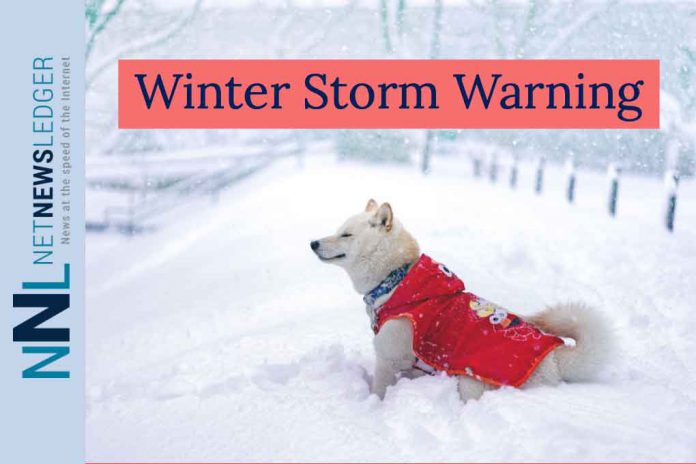
MARTEN FALLS – WEATHER – Residents of Neskantaga, Marten Falls, and Webequie are advised to prepare for a severe winter storm, expected to hit the region tonight and continue through Tuesday night. With significant snowfall, reduced visibility, and harsh wind chills on the horizon, ensure you’re ready for the challenging conditions ahead.
Today’s Weather Overview
Current Conditions:
As of 3:00 PM EDT on Monday, 25 March 2024, at Ogoki Post Airport, conditions are mainly sunny with a temperature of -6.8°C. The dew point sits at -13.4°C, with a humidity of 59%. Northeast winds are blowing at 24 km/h, gusting up to 48 km/h, resulting in a wind chill of -14°C. Visibility is relatively clear at 16 km.
Weather Forecast:
- Today: The sky will be mainly cloudy with a 40% chance of flurries early this afternoon. Snow is expected to start this afternoon, with winds from the northeast at 20 km/h, gusting to 40. The high will be around -9°C, with a wind chill nearing -20°C. UV index remains low at 2.
- Tonight: Snowfall increases, with local blowing snow overnight. Anticipate 5 to 10 cm of snow accumulation. Winds will persist from the northeast at 30 km/h, gusting to 50, dropping temperatures to a low of -14°C, with wind chills of -17°C this evening and -25°C overnight.
- Tuesday, 26 March: Expect snow, at times heavy, along with local blowing snow. Snow accumulation could reach 10 to 15 cm. Winds remain consistent, with a high of -4°C and wind chills of -25°C in the morning improving to -13°C in the afternoon. The UV index is low at 1.
- Wednesday, 27 March: The snow will continue, with a high of -4°C. Nighttime brings periods of snow, with temperatures dropping to -13°C.
Hazards:
- Heavy Snowfall: Total accumulations of 20 to 35 cm are expected.
- Reduced Visibility: Heavy snow and blowing snow will significantly reduce visibility.
- Peak Snowfall Rates: Anticipate 2 to 3 cm of snow per hour at peak times.
Timing:
The storm is set to begin tonight and will last until early Wednesday morning, with additional snowfall possible into Wednesday.
Discussion:
The impending snowstorm will bring heavy snowfall, particularly on Tuesday, and could include a brief period of freezing rain Tuesday night in some areas. Visibility may be suddenly reduced in heavy snow. It’s recommended to postpone non-essential travel until conditions improve and to prepare for quickly changing and deteriorating travel conditions.
Wardrobe Recommendations:
- Heavy, insulated winter clothing is essential.
- Waterproof outer layers to stay dry.
- Warm hats, gloves, and scarves.
- Sturdy, insulated boots with good traction.
Weather Trivia:
Did you know that the heaviest snowfall ever recorded in a 24-hour period in Canada was 145 cm in Tahtsa Lake, British Columbia, on 11 February 1999? This event showcases the extreme weather conditions that can occur in Canada.


