
Weather Advisory in Effect
WINNIPEG – WEATHER – As the clock strikes 9:00 PM CST on this chilly Saturday night, the City of Winnipeg braces itself for a significant weather event. With a special weather statement already in effect, residents are urged to prepare for a mix of snow, blowing snow, and potential freezing rain as a Montana low sets its sights on Southern Manitoba.
Today’s Weather Overview
Current Conditions
As of 9:00 PM CST at Winnipeg Richardson International Airport, the weather is mostly cloudy with a temperature of -7.7°C, slowly rising under the pressure of 101.7 kPa. The air is crisp, with a humidity level of 68% and a dew point of -12.6°C. The northeast winds are blowing at 27 km/h, making the wind chill plummet to -16, although visibility remains decent at 24 km.
Historical Context
Typically, early March in Winnipeg can range widely in temperature, but tonight’s conditions are a testament to the city’s resilience in facing winter’s variability. The anticipated snowfall and wind chill are consistent with Winnipeg’s historical weather patterns for this time of year, emphasizing the need for preparedness.
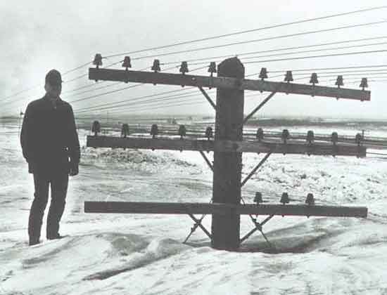
Do you remember the March 4, 1966 Blizzard? Winnipeg was buried in snow and snow drifts.
Tomorrow’s Forecast
Expected Conditions
The night progresses with cloudy skies and snow beginning early in the evening, accompanied by a risk of freezing rain overnight. Blowing snow is expected to worsen, with snowfall amounts ranging from 2 to 4 cm.
The wind, blowing from the northeast at 20 km/h and gusting to 50, will increase to 40 km/h with gusts up to 60 near midnight. The temperature is forecasted to rise to -3°C by morning, with a wind chill hovering near -14.
Sunday promises a complex mix of weather phenomena. Snow is expected to become mixed with rain in the afternoon, with a persistent risk of freezing rain throughout the morning and afternoon.
The blowing snow will accompany snowfall amounts of 2 to 4 cm, with wind speeds reaching up to 50 km/h and gusting to 70. The high for Sunday is a slight plus 1°C, but the wind chill will make it feel like -12°C in the morning.
As Sunday night falls, the region will see more snow, possibly mixed with rain early in the evening, alongside a risk of freezing rain. The wind will shift from northeast to southeast and then to southwest, with speeds varying and gusting up to 70 km/h. The temperature will drop to -9°C, with the wind chill making it feel like -20°C.
Monday will bring relief with sunny skies and windy conditions, boasting a high of -9°C, followed by a clear night with a low of -19°C. Tuesday continues the sunny trend with a high of -12°C, but the night may bring periods of snow, with temperatures dropping to -16°C.
Wardrobe Recommendations
Given the mixed bag of precipitation and fluctuating temperatures, residents are advised to layer up. Waterproof and insulated outerwear will be essential, alongside warm underlayers. Don’t forget hats, gloves, and sturdy boots to navigate icy conditions. The shifting conditions from snow to rain back to snow again emphasize the need for versatile and protective clothing.
Weather Trivia
Did you know Winnipeg is one of the coldest cities in the world with a population of over 600,000? Its residents are no strangers to the challenges of winter weather, showcasing resilience and preparedness in the face of fluctuating and often severe weather conditions.


