
Thunder Bay – Wildfire Update – The wildfire risk continues to ramp up with an additional 12 new fires. There are 13 fires out of control.
- At the time of this update there are 62 active fires in the Northwest Region; 13 of these fires are not under control, 7 fires are being held, 8 fires are under control and 34 fires are being observed.
- There were twelve new fires confirmed in the Northwest Region by the late afternoon of July 6:
- Nipigon 36 is located approximately 15 kilometres southeast of Webequie on the eastern shoreline of Winisk Lake. The 0.1 hectare fire is currently being observed.
- Nipigon 37 (10.0 hectares) and Nipigon 38 (2.0 hectares) are located approximately 32.9 kilometres northeast and 50.2 kilometres northeast of Windsor Lake respectively. Both fires are currently being observed.
- Nipigon 39 (5.0 hectares) and Nipigon 40 (12.0 hectares) are located approximately 43.2 kilometres southeast and 23.8 kilometres southwest of Neskantaga First Nation respectively. Both fires are currently being observed.
- Nipigon 41 is located approximately 15.4 kilometres northwest of Kagianagami Lake near South Hartley Lake. The 0.1 hectare fire is currently being observed.
- Thunder Bay 27 is located approximately 44.0 kilometres east of Armstrong, on the northern shore of Lake Nipigon near North Ombabika Bay. The 1.5 hectare fire is not yet under control.
- Sioux Lookout 71 is located approximately 14.1 kilometres south of Pickle Lake and 1.9 kilometres east of Highway 599. The 0.2 hectare fire is not yet under control.
- Red Lake 47 is located approximately 3.3 kilometres north of Lorne Lake in Whitemud Conservation Reserve. The 0.1 hectare fire is not yet under control.
- Kenora 31 (0.2 hectares) and Kenora 32 (0.1 hectares) are located approximately 14.6 kilometres and 16.8 kilometres east of Highway 105 respectively, near Ord Lake. Both fires are not yet under control.
- Dryden 24 is located approximately 3.2 kilometres northeast of North Road, near McIntyre Bay in Lac Seul. The 0.3 hectare fire is not yet under control.
- The wildland fire hazard is predominately high to extreme across Northwest Region, with some areas of moderate hazard west of Thunder Bay and Lake Nipigon.
- For a closer look at fire hazard conditions in your area and an overview of regional fires, view Interactive Map.
Northwest Fires of Note
- Sioux Lookout 33 is located on the western edge of Wabakimi Provincial Park. The 60,394 hectare fire is not under control. Values protection is ongoing.
- Sioux Lookout 44 is located on the west side of Lake St. Joseph. The 6,730 hectare fire is not under control. Helicopter bucket operations are providing support.
- Sioux Lookout 53 is located 3.5 kilometers east of the Bearskin Lake First Nation. The 334.2 hectare fire is currently being held. Crews continue to establish hose lines while helicopter bucketing operations provide support. Excellent progress continues to be made.
- Nipigon 13 is located west of Ogoki Lake. The 37,868 hectare fire is not under control. Values assessment and protection is ongoing and helicopter bucket operations are providing support.
- Nipigon 19 is located northwest of Ogoki Lake. The fire is now measuring 10,064 hectares and is not under control. Crews continue to establish hose lines while helicopter bucket operations continue to provide support.
- Red Lake 28 is located 40 kilometers north of Lac Seul First Nation. The 19,177 hectare fire is not under control. Crews continue to establish hose lines while helicopter bucket operations continue to provide support.
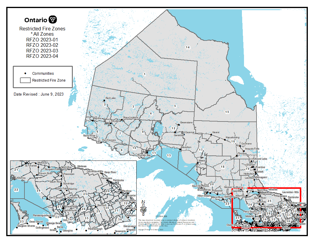
Restricted Fire Zone
Despite recent precipitation throughout parts of Ontario, forest fuels are still very dry and susceptible to holdover ignition from lightning and could result in more problematic fire behaviour. Because the amount of precipitation has not been great enough in some areas to lessen the subsurface fuel moisture content fire hazard, burning conditions can rebound quite quickly and as the drying trend continues, there is more build up of forest fuel available to burn. Scattered precipitation is often accompanied by lightning which can strike a tree or other forest fuels and ignite a fire under the forest floor. Once the weather dries up, winds increase and temperatures rebound, holdover lightning fires from convective activity can appear up to about a week later.
As such, the Ministry of Natural Resources and Forestry has declared a Restricted Fire Zone for the entire fire region of Ontario (Zones 1 to 36). The Restricted Fire Zone is in effect until further notice. Restricted Fire Zones help protect public safety. Open air burning, including campfires, is not permitted within the boundaries of a Restricted Fire Zone. Portable gas or propane stoves may be used for cooking and warmth BUT must be handled with extreme caution. All burning permits are suspended.
Click the link for a map of areas affected by the Restricted Fire Zone.
Report a Wildland Fire
To report a wildland fire located north of the French and Mattawa rivers, please dial 310-FIRE. To report a forest fire located south of the French or Mattawa rivers, please dial 911.


