Thunder Bay 9 and Red Lake 15 among Fires Not Under Control, Sioux Lookout 7 Continues to Burn Away from Community
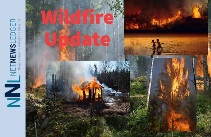
THUNDER BAY – Wildfire Update – The Northwest District wildfire situation has authorities confirming the emergence of ten new fires in the region.
As the wildfire threat persists, efforts to contain and control the fires remain ongoing.
Among the newly discovered fires is Thunder Bay 9, located near Smoothrock Lake in Wabakimi Provincial Park. This fire spans an area of 6.5 hectares and is currently not under control.
Additionally, Red Lake 15 and Red Lake 16, situated near the Nungesser River, have been identified. Red Lake 15 is not under control, while Red Lake 16 is classified as out.
Nipigon 5, situated near Klersy Lake, is being held at 0.1 hectares. Meanwhile, Red Lake 17 near Costello Lake and Red Lake 18 near McInnes Lake are being held at 1.0 hectare and 0.2 hectare, respectively. Red Lake 19 near Rathouse Lake and Red Lake 20 near Mamakwash Lake both remain not under control at 0.1 hectare and 2.5 hectares, respectively.
Additionally, Nipigon 7 near Longlac and Kenora 18 near Pond Lake are not under control, with areas of 1.0 hectare and 0.5 hectare, respectively.
Sioux Lookout 15 and Kenora 17 were discovered on June 3, with Sioux Lookout 15 being held at 0.5 hectares and Kenora 17 not yet under control at 1.7 hectares. These fires add to the significant ongoing fire of note, Sioux Lookout 7, which spans 9,285 hectares and continues to burn north of the remote First Nation of Cat Lake.
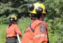
Efforts to contain the fire involve 12 fire crews and 3 helicopters, focusing on establishing hose lines along the southern perimeter to protect the community.
Currently, there are a total of 18 active fires in the Northwest Region
Of these, 11 are not under control, six are being held, and one is being observed. While initial attack crews have successfully extinguished nine fires in the past 24 hours, the overall fire hazard remains a patchwork of moderate to high risk zones, with localized rain resulting in areas of low hazard across the region.
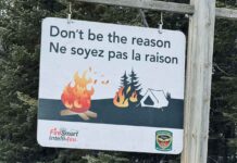
To address the extreme forest fire hazard, the Ministry of Natural Resources and Forestry has implemented a Restricted Fire Zone, which prohibits open air burning, including campfires, within the affected areas. Portable gas or propane stoves may be used for cooking and warmth, but caution must be exercised. All burning permits have been suspended until further notice.
Residents are encouraged to stay updated on fire hazard conditions in their respective areas by referring to the Interactive Map provided. Any wildland fires located north of the French and Mattawa rivers should be reported by dialing 310-FIRE, while forest fires south of these rivers should be reported by dialing 911.

