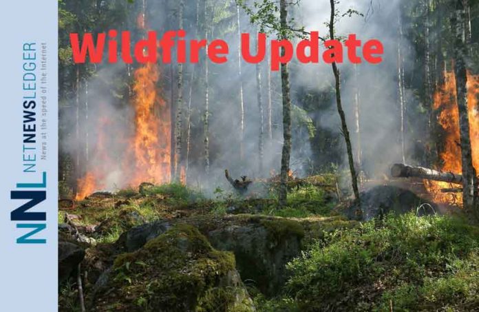
Thunder Bay – Wildfire Update – At the time of this update, there were 86 active fires in the district. 12 of those fires are listed as out of control. 11 of the fires are listed as under control. 58 wildfires are simply being observed.
Two fires were listed as being put out.
Northwest Region
- Two new fires were discovered in the northwest region by the late afternoon of Aug. 27.
- Fort Frances 153 was newly discovered among a cluster of new fires that were found Aug. 26 near Agnes Lake in Quetico Provincial Park, approximately 61 kilometres south/southeast of Atikokan. The 0.1 hectare fire is not under control.
- Nipigon 81 is located near Peninsular Lake, approximately 40 kilometres south of Eabametoong First Nation. The 0.1 hectare fire is not under control.
- Dryden 130 is located near Claw Lake, approximately 75 kilometres northeast of Ignace. The 0.1 hectare fire is not under control.
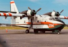
- Eight active fires in Quetico Provincial Park are receiving rain today. At a size of 45,712 hectares, Fort Frances 35 has nine crews establishing hoselines in strategic locations and utilizing support from bucket equipped helicopters.
- The wildland fire hazard is moderate to high in the Fort Frances, Dryden, Kenora, Thunder Bay and Nipigon sectors. Sectors such as Red Lake and Sioux Lookout feature low to moderate hazard conditions.
- To see the wildland fire hazard near you, visit our interactive map at Ontario.ca/forestfire.
Updated boundaries for Restricted Fire Zone in Northwest Region (effective Aug. 26)
Due to the high to extreme forest fire hazard, the Ministry of Northern Development, Mines, Natural Resources and Forestry is maintaining a Restricted Fire Zone in Fort Frances District and southern portions of Kenora and Dryden Districts. The Restricted Fire Zone is in effect until further notice. Outdoor fires are banned. Portable gas stoves may still be used BUT must be handled with extreme care.
You can learn more about Restricted Fire Zones here.
For a more detailed boundary of the Restricted Fire Zone, consult the interactive fire map at Ontario.ca/forestfire or the map here.

