
Thunder Bay – WEATHER UPDATE – Are you ready for cold winter weather? Over the course of 2021 we have for the most part seen above. Across Alberta, Saskatchewan, Manitoba and into Northern Manitoba there are Extreme Cold Warnings in effect.
The cold spot in Ontario is -28.1 °C or -18.6 °F in Kitchenuhmaykoosib Inninuwug First Nation / Big Trout Lake.
Extreme Cold Warning in effect for:
- Kitchenuhmaykoosib Inninuwug First Nation – Kasabonika
- Sachigo Lake – Bearskin Lake
- Sandy Lake – Weagamow Lake – Deer Lake
A prolonged period of very cold wind chills is expected.
Wind chill values expected to drop to near minus 45°C early this morning and continue through Monday morning due to cold temperatures and northwest winds 30 km/h gusting to 50. The extreme wind chill values will improve by midday Monday as the winds become southwesterly.
Blowing snow advisory in effect for:
- Fort Severn
Poor visibility in snow and blowing snow today.
Snow and strong northwest winds gusting to 70 km/h will lead to widespread blowing snow. Reduced visibilities are expected as a result.
Snowfall accumulations will not be overly significant, with additional amounts of 5 centimetres forecast by this afternoon.
Blowing snow is expected to continue into late this afternoon when wind will begin to ease.
Thunder Bay Weather Outlook
It is -18°C in Thunder Bay at 06:00 am EST headed to a high of -17°C. The wind chill will be -30°C, there is a risk of frostbite. The forecast is calling for a mix of sun and cloud with a 30 percent chance of flurries. Winds will be northwest 30 km/h gusting to 50.
For tonight, expect partly cloudy skies with a 30 percent chance of snow flurries this evening. Winds were west 20 km/h gusting to 40. The overnight low will be -23°C. The wind chill will be near -33°C. There is a risk for frostbite for exposed skin.
Greenstone – Geraldton Weather Outlook
It is -23°C in Geraldton this morning. The forecast is calling for periods of snow and local blowing snow. Winds will be west 20 km/h gusting to 40. The temperature will be steady near minus 22°C. The wind chill will be -33°C. There is a risk of frostbite for exposed skin.
Tonight skies will be mainly cloudy with a 60 percent chance of flurries. Winds will be west 20 km/h gusting to 40. The overnight low will be -26°C. The wind chill -33°C this evening and -38°C overnight.
Kitchenuhmaykoosib Inninuwug First Nation
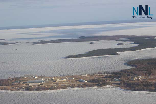
The mercury is at -29°C this morning. The weather forecast is calling for periods of snow and local blowing snow with between 2 to 4 centimetres expected. Winds will be northwest 40 km/h gusting to 60. The temperature will remain steady near -28°C with the wind chill near -46°C. At those values exposed skin can freeze in mere minutes.
Tonight, the weather is calling for periods of snow with amounts of 2 to 4 centimetres. Winds are northwest 30 km/h. The overnight low -31°C. Wind chill values will be near -47°C.
Fort Frances Weather Outlook
It is -26°C in Fort Frances this morning, with a mix of sun and cloud with 40 percent chance of flurries in the forecast. Wind west 20 km/h gusting to 40. The temperature will be steady near minus 24°C. Wind chill near minus 37°C.
Tonight will see partly cloudy skies. Winds will be west 20 km/h gusting to 40. The temperature will be -31°C with the wind chill at -34°C this evening and -42°C overnight.
At these temperatures, exposed skin can freeze in minutes.
Remember if it is cold for you it is just as cold for pets and livestock.


