THUNDER BAY – WEATHER – Environment Canada has updated their weather forecast for Thunder Bay.
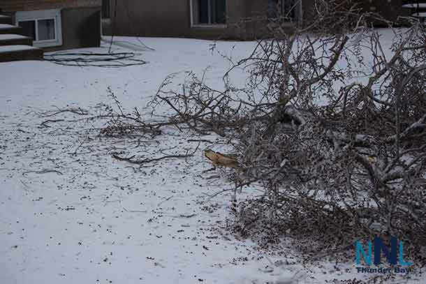
On the north side of Thunder Bay freezing rain has started, and has started gathering on vehicles and roadways.
Freezing rain warning in effect for:
- City of Thunder Bay
Significant ice build-up due to a long-lasting period of freezing rain is expected or occurring.
More freezing rain and ice pellets expected today.
The break from yesterday’s ice storm is about to come to an end.
Freezing rain and ice pellets from the next surge of moisture coming up from a low pressure area tracking towards Lake Superior will move in late this morning. The freezing precipitation will continue into this afternoon before changing over to snow by evening.
Further ice accumulations of 5 to 10 mm are possible today.
Northerly winds gusting to 40 km/h will continue today. Hence ice laden tree limbs may come down on power lines, resulting in possible widespread and extended power outages across the region.
