THUNDER BAY – WEATHER – Temperatures outside will feel like it is -40c to -45c in the Thunder Bay region today.
In Thunder Bay this morning at 07:00 EST it was -32.5c with the Windchill at -43c.
The cold is expected to let up briefly this afternoon, before returning tonight.
For small children and pets, who are easily impacted by cold weather, make sure to keep an eye on them. For dogs and cats, long-term exposure to the cold can harm them.
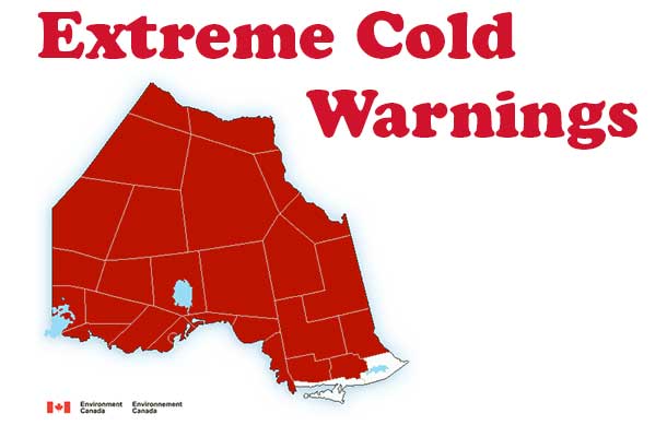
Environment Canada has an Extreme Cold Warning in effect for all of Northern Ontario as cold frigid Arctic air is flowing down into the region.
Wind chills will slowly improve Friday afternoon as the temperature rises.
Watch for cold related symptoms and complaints which include:
– Respiratory: shortness of breath, wheezing and cough
– Cardiovascular: chest pain and arrhythmias
– Circulation: colour change of finger and toes, pain, numbness and tickling sensation in extremities
– Muscle: pain, stiffness, swelling, restricted movement, weakness
– Skin: itching, pale.
If you experience these symptoms when exposed to the cold, move indoors and begin warming.
Wear appropriate clothing.
– Always wear clothing appropriate for the weather. Synthetic and wool fabrics provide better insulation. Some synthetic fabrics are designed to keep perspiration away from your body which keep you dry and further reduce your risk.
– Dress in layers with a wind resistant outer layer. You can remove layers if you get too warm (before you start sweating) or add a layer if you get cold.
– Wear warm socks, gloves, a hat and scarf in cold weather. Be sure to cover your nose to protect it.
– If you get wet, change into dry clothing as soon as possible. You lose heat faster when you’re wet.
Extreme cold warnings are issued when very cold temperatures or wind chill creates an elevated risk to health such as frost bite and hypothermia.
|
Location |
|||
|
|
|
||
|
|
|
||
|
|
|
||
|
|
|
||
|
|
|
||
|
|
|
||
|
|
|
||
|
|
|
||
|
|
|
||
|
|
|
||
|
|
|
||
|
|
|
||
|
|
|
||
|
|
|
||
|
|
|
||
|
|
|
||
|
|
|
||
|
|
|
||
|
|
|
||
|
|
|
||
|
|
|
||
|
|
|
||
|
|
|
||
|
|
|
||
|
|
|
||
|
|
|
||
|
|
|


