
NEW YORK – WEATHER – New York Mayor says the storm threatening the city is capable of dumping up to three feet of snow, and having very strong winds.
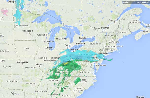
The entire Eastern Seaboard of the United States is bracing for the blizzard which is expected to hit starting late Monday.
The storm is expected to result in delays at John F. Kennedy International Airport, and could impact other airports including Boston’s Logan International Airport. If the storm is severe enough it could have a domino effect on connecting flights across North America and in and out of Europe.
Blizzard Warning in Effect
The National Weather service in New York has issued a Blizzard Warning…Which is in effect from 1 pm monday to midnight EST Tuesday night.
* locations…New York City and surrounding immediate suburbs…Long Island…And most of southern Connecticut.
* Hazard types…Heavy snow and blowing snow…With blizzard conditions.
* Accumulations…Snow accumulation of 20 to 30 inches…With locally higher amounts possible. Snowfall rates of 2 to 4 inches per hour expected late monday night into Tuesday morning.
* Winds…North 30 to 40 mph with gusts 55 to 65 mph…Strongest across eastern long island.
* Visibilities…One quarter mile or less at times.
* Temperatures…In the lower 20s.
* Timing…Light snow will begin monday morning…With accumulations of 1 to 3 inches possible by the evening rush. Snow will pick up in intensity monday evening…With the heaviest snow and strongest winds from about midnight Monday night into tuesday afternoon.
* Impacts…Life-threatening conditions and extremely dangerous travel due to heavy snowfall and strong winds…With whiteout conditions. Secondary and tertiary roads may become impassable. Strong winds may down power lines and tree limbs.
Precautionary/preparedness actions…
A blizzard warning means severe winter weather conditions are expected or occurring. Falling and blowing snow with strong winds and poor visibilities will lead to whiteout conditions…Making travel extremely dangerous. Do not travel. If you must travel…Have a winter survival kit with you. If you get stranded…Stay with your vehicle.
All unnecessary travel is discouraged beginning Monday afternoon…To allow people already on the road to safely reach their destinations before the heavy snow begins…And to allow snow removal equipment to begin to clear roads.


