
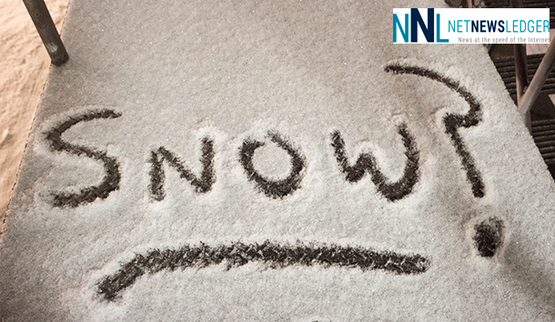
Winter Sending Signals It is Coming
THUNDER BAY – There are Winter Storm Watches in effect for Sachigo Lake, Big Trout Lake, Kasabonika, Pickle Lake, Cat Lake, Summer Beaver, Wunnummin Lake and Kingfisher Lake, as weather conditions cool down for the weekend. If you have flight plans headed North today, check with Flight Tracking and your airline to ensure your flight is on time.
Environment Canada states, “A moisture laden low pressure system approaching from the Great Lakes will spread rain into the regions beginning this morning. However, as the low tracks up to the east of the regions to near the Hudson Bay coast tonight, strengthening northwesterly winds will pump in cold arctic air, causing the temperature to drop to near the zero degree mark. The rain will change over to snow tonight. Total snowfall amounts may reach 25 cm in some locales by Saturday night. Traveling conditions will quickly deteriorate tonight as the snow moves in. The snow may continue into Sunday as the low pressure area lingers near the regions.
Rapidly accumulating snow could make travel difficult over some locations. Visibility may be suddenly reduced at times in heavy snow. Poor weather conditions may contribute to transportation delays. Public Safety Canada encourages everyone to make an emergency plan and get an emergency kit with drinking water, food, medicine, a first-aid kit and a flashlight. For information on emergency plans and kits go to http://www.getprepared.gc.ca/
Winter Storm Watches are issued when multiple types of severe winter weather are expected to occur together.
Wet Roads Heading East from Thunder Bay
Special weather statements in effect for:
- Geraldton – Longlac – Caramat
- Manitouwadge – Hornepayne
- Nakina – Aroland – Pagwa
- Wawa – Pukaskwa Park
- White River – Dubreuilville
A significant soaking rainfall today into tonight.
A low pressure area originating from Texas will cross the Upper Great Lakes into Northeastern Ontario today, bringing a large area of rain with it. Latest indications show that this disturbance will deliver a total of 20 to 40 mm of rain by later this evening. Local amounts of 40 to 50 mm are possible in a few localities.
Higher total rainfall amounts of 50 mm in a 24 hour time frame are expected for regions adjacent to Eastern Lake Superior and Northern Lake Huron where a rainfall warning is in effect.
The rain will taper off to a few showers this evening as the low pressure system moves towards the Hudson Bay coast.


